- Destinations
- Routes
- Events
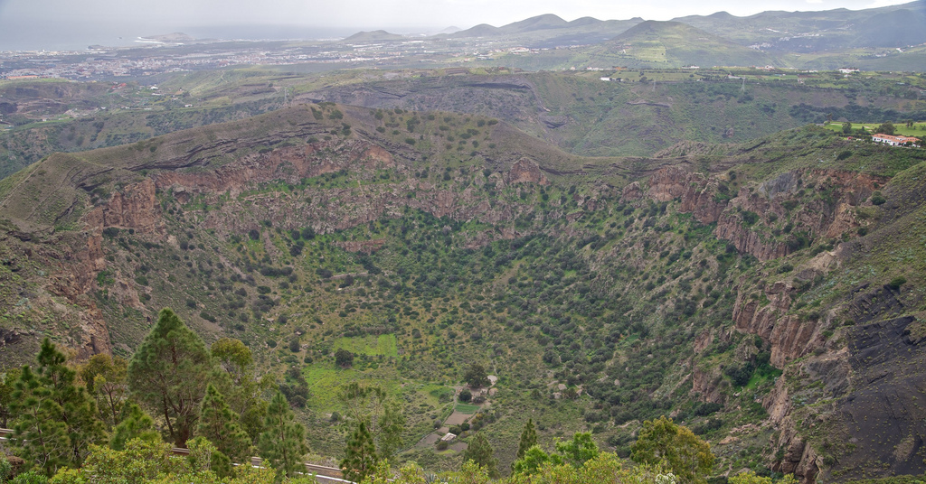
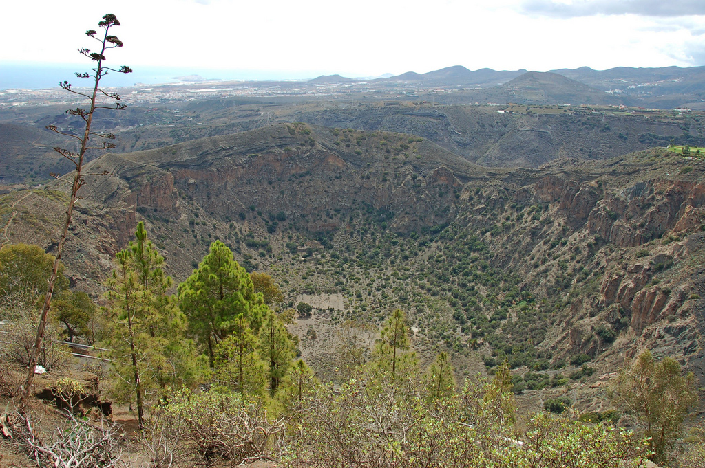
About Caldera de Bandama
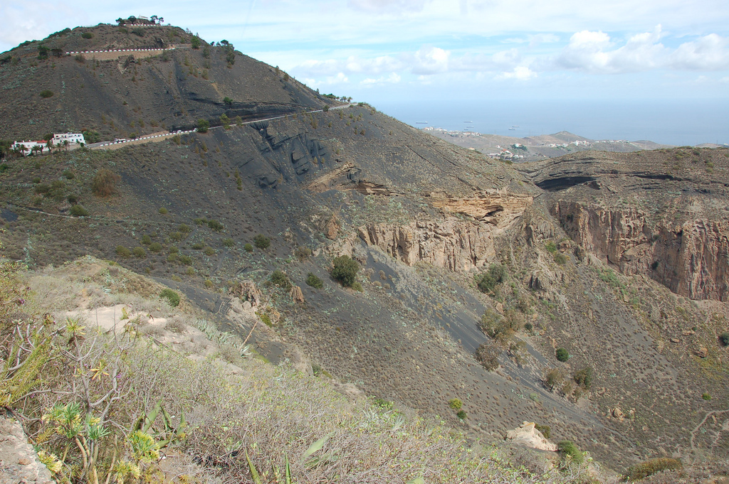
The Caldera de Bandama is part of the municipal district of Santa Brígida, Las Palmas de Gran Canaria. The routes that run through this natural landscape are fantastic and go through the ravines of Las Goteras and Guiniguada to the east coast.
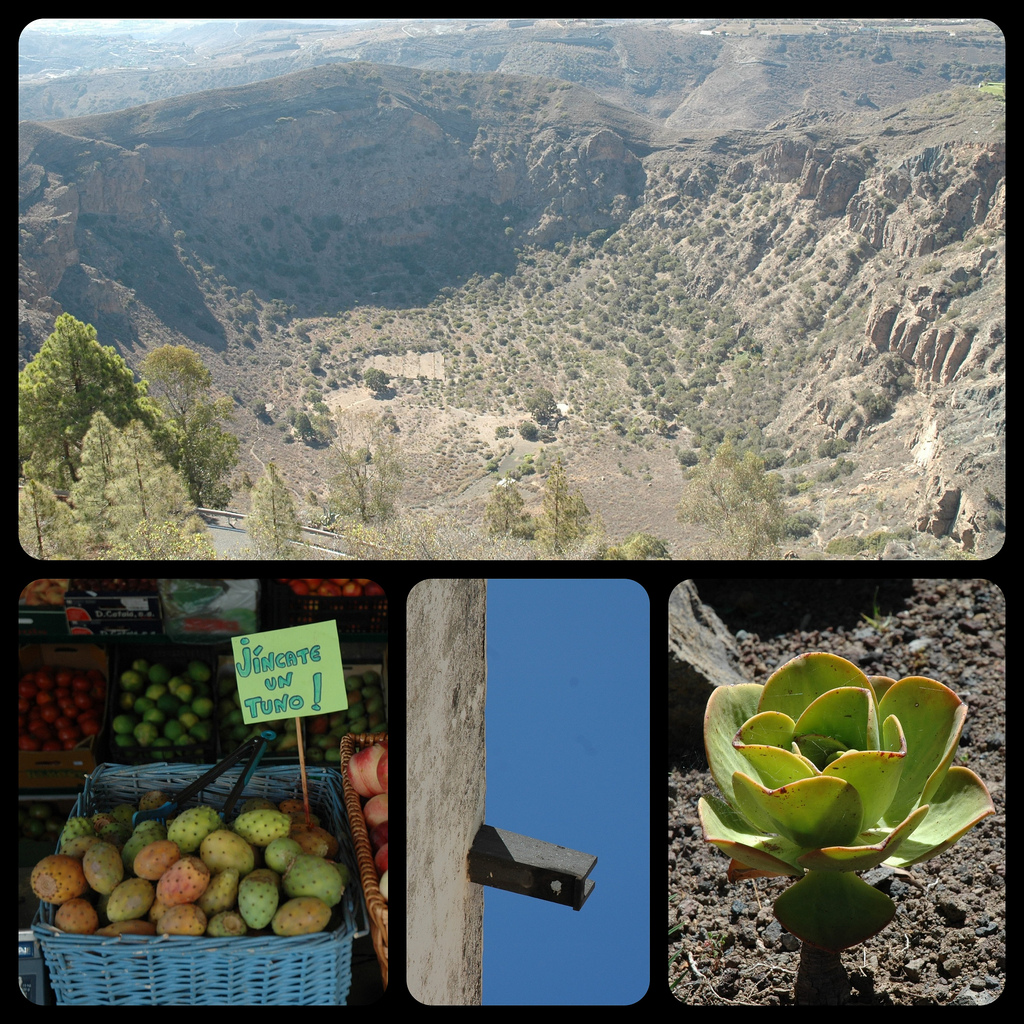
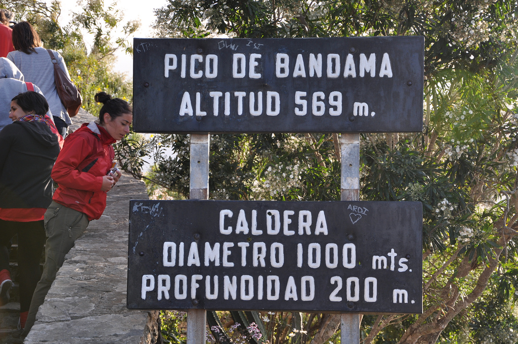
The Caldera was formed approximately five thousand million years ago next to the Bandama volcano, it is about 216 meters deep, 574 meters high and about a thousand meters in diameter. Not only does it have an important geological value, it also stands out as an archaeological site since the Cueva de los Canarios can be found, where the first inhabitants of the island stored the crops and food.
The Caldera de Bandama. that owes its name to a well-known Flemish merchant surnamed Van Damme, crosses the Cornical viewpoint, continues through the Casas del Fondo, the cave of the Bodegas, the pond of El Culatrón and the crossing of the three stones.
In the area you can see plants such as the white tajinaste and the wild olive as well as birds such as the kestrel, the capirote and other native birds.
| Formats | jpg, png, gif, bmp |
| Maximum size | 10 MB |
| Width and minimum height | 150 px |
| Maximum width and height | 16000 px |

Share your experience
Recommends it
Do you know him?