- Destinations
- Routes
- Events
About San Antonio
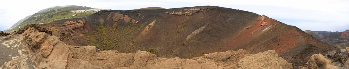
The municipality of Fuencaliente has a population center called Los Canarios, is about 700 meters above sea level and is a basin that is flanked by volcanic cones and covered with pine forests. In this area of Fuencaliente you will find the San Antonio natural area that houses the volcano of the same name and the Volcano Interpretation Center San Antonio.
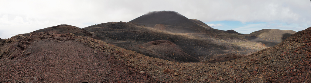
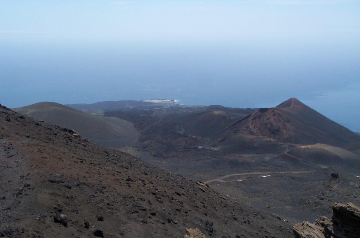
In this part you can enjoy a walk around the huge crater of the San Antonio volcano and it is possible to ascend to the top and have an amazing view of all the volcanoes.
In the natural environment of San Antonio it is possible to also access the Interpretation Center of the San Antonio Volcano, where it is possible to know in depth all the history of the Volcán de San Antonio It has a projection room, a seismograph, an exhibition of interpretive panels with diagrams and aerial photos of the island.
| Formats | jpg, png, gif, bmp |
| Maximum size | 10 MB |
| Width and minimum height | 150 px |
| Maximum width and height | 16000 px |

Hiking route through La Palma leaving from El Pilar Refuge until you reach the Fuencaliente lighthouse. They will travel for just over 23 km. several volcanic summits and lookouts as well as crossing the Dorsal del Cumbre Vieja. The difficulty is high and due to the intense heat during the summer, it is advisable not to do it during the months of July and August.
The Gastronomic Route of the Volcanoes is a route of different bars and restaurants that promote each year towards the month of September, with special dishes, the gastronomy of La Palma
Share your experience
Do you know him?