- Destinations
- Routes
- Events
About Teneguía
| Formats | jpg, png, gif, bmp |
| Maximum size | 10 MB |
| Width and minimum height | 150 px |
| Maximum width and height | 16000 px |

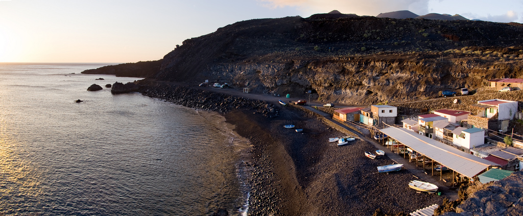
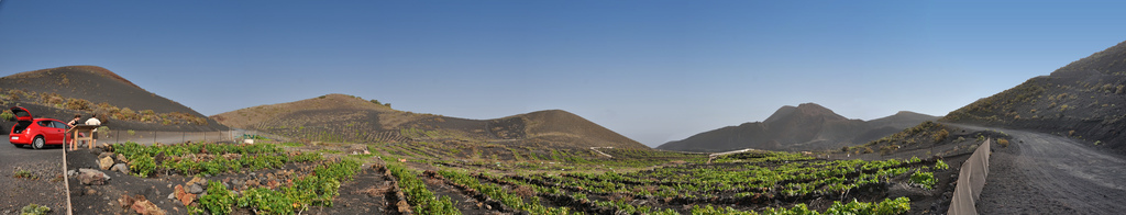
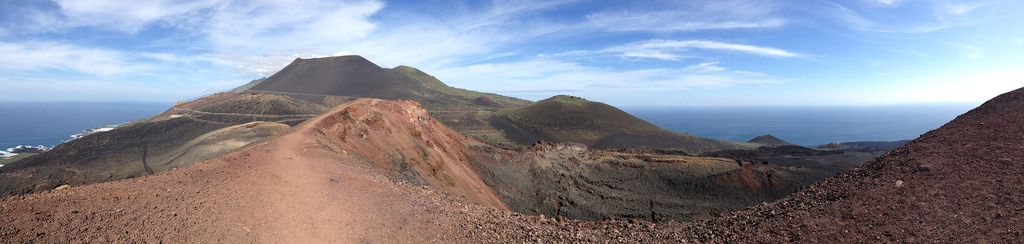
Hiking route through La Palma leaving from El Pilar Refuge until you reach the Fuencaliente lighthouse. They will travel for just over 23 km. several volcanic summits and lookouts as well as crossing the Dorsal del Cumbre Vieja. The difficulty is high and due to the intense heat during the summer, it is advisable not to do it during the months of July and August.
The Gastronomic Route of the Volcanoes is a route of different bars and restaurants that promote each year towards the month of September, with special dishes, the gastronomy of La Palma
Share your experience
Do you know him?